
Tracing a Piqua Street Directory
The Piqua street directory workflow is address to parcel, parcel to legal description and current recorded owner, then owner name to a recorded instrument. After that, dated library, map, or permit material can add a historical layer. The Miami County Auditor is the address entry point because its public field accepts a parcel, owner, or address. Its card is valuable for identifying property, but it is not a roster of people at the address.
Keep the source's purpose visible at every stage. A deed can document parties to a land transaction. A map can show a lot or adjacent parcel. A directory volume can preserve a printed historical association with an address. An Ohio voter lookup is person-centered and cannot be used as an unrestricted street browse. Combining distinct record types carefully is more accurate than calling any one result a complete answer about who lives on a Piqua street.
- Enter the house number and street, or a parcel or owner, in the Miami County Auditor search. Use the house number alone if the full address fails.
- Record the parcel number, situs address, municipality, legal description, and any map link from the returned card.
- Use the current recorded owner and legal description in the Recorder's party-name search to find an instrument.
- Inspect the Piqua Lot Index or quadrant tax map where a lot, block, or boundary needs context.
- For past address evidence, ask Piqua Public Library whether the appropriate directory includes a numerical or criss-cross section.
Piqua Street Parcel Fields
The Miami County Auditor Real Estate Quick Search shows a single query labeled “Search by Parcel, Owner or Address.” It has no required notation or visible advanced-menu requirement. A returned Piqua parcel card can display the parcel number, tax classification, street address, owner, sales data, municipality, township, school district, legal description, values, exemptions, land and improvement tabs, tax details, and links to GIS Mini Map and Pictometry imagery.
Three address ideas need to stay separate in a Piqua address search: the situs is the parcel's physical location; the deeded-owner mailing address is a contact field for the recorded owner; and the taxpayer mailing address is a tax-contact field. The inspected official card shows that the mail fields can differ from each other and from the situs. Neither one proves that a named person occupies the Piqua property.
| Portal field or view | Street-search use | Limit |
|---|---|---|
| Parcel, owner, or address | Starts the address-to-parcel search | Search results must be checked against the parcel card. |
| Location and legal | Identifies situs, municipality, lot, block, or legal description | It does not name all people associated with an address. |
| Deeded-owner and taxpayer mail | Supplies recorded and tax-contact fields | Mail contacts can be different from the situs. |
| Sales, land, improvements, tax | Adds documented property chronology | Property detail does not establish daily presence. |
| GIS Mini Map | Links a parcel to map context | Map labels require source-specific interpretation. |
Piqua Street Tax Maps
Tax maps give address research its parcel geography. Miami County's Engineer Tax Map Department provides a Piqua Lot Index and map selections for Piqua NE, NW, SE, and SW. Use the parcel's legal description, lot, block, subdivision, or plat reference to identify the right sheet. The map system is especially useful when a card abbreviates a legal description or a nearby parcel has a similar street number.
The Map Department reports holdings of 13,200 survey plats, 4,019 record plats, 2,873 tax maps, and 745 aerial photos. Its online PDFs are archived reference files, and the department directs anyone needing current map information to the counter or email. That distinction is important when reading a Piqua street: an older map helps reconstruct a recorded land pattern, while current boundary questions belong with the custodian.
The county's Piqua tax-map page provides the official lot-index and quadrant route.
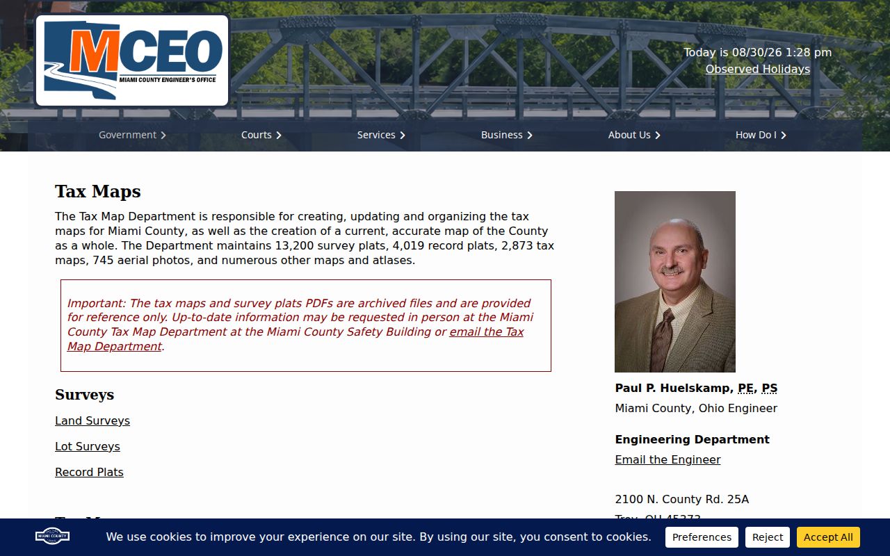
Match a map sheet to the legal description before using it to compare street context, because a postal address is not the same thing as a parcel boundary.
Piqua Street Deed Names
The Recorder's Basic Records Search is a party-name tool, not a complete street search. Miami County directs a researcher to enter Last Name or Business Name and First Name, choose the document name under the Document No. heading, and then use the page icon to view or print the image. The Recorder specifically warns that parcel numbers and addresses are absent from some instruments. That is why the Piqua address trail begins with the Auditor's legal description and present owner, then changes to the Recorder's name-first method.
Record the document number or book and page, grantor, grantee, recording date, instrument type, and legal description. The former owner commonly appears as grantor on a purchase deed; searching that person as grantee can extend the chain. Miami County reports deeds from 1807, directs pre-1980 assistance to the office, and offers deeper historical work through Laredo. Its digitized Geographical, Green Abstract, Name, and Miscellaneous indexes help bridge older material. For 1980 through 1999, the county says to verify metadata against the Geographical Indexes.
The Recorder's Basic Records Search is the county-authorized starting screen for this name-based step.
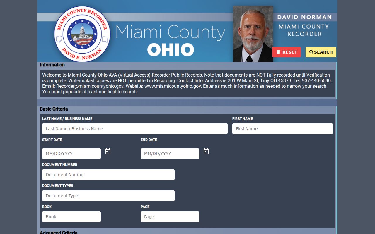
A free image is watermarked; a non-watermarked copy is requested from the Recorder, which states a current charge of $2 per page for that copy route.
Piqua Street Permit Timeline
Piqua Planning and Zoning can add a city-held project trail to an address search. The office administers zoning permits, contractor registration, property maintenance and code compliance, development-code work, plan and site review, and long-range planning. Its permit route uses GovWell for categories such as new buildings, demolition, additions, site work, utilities, right-of-way work, sidewalk or curb work, and floodplain matters. The public search controls did not render during the documented research, so a search should not be described as an available address tab.
For a city file, make a focused request using the property address, project address, approximate year, project type, and permit number if it is known. The Library's January 2026 manuscript inventory identifies MS-281, Piqua Building and Zoning Permits, covering 1986 through 2004, as an historical fallback. Permit dates can place public work or an administrative event at an address. They do not establish who occupied the building at that time.
The Piqua GovWell portal is the city's online application route for current Planning and Zoning categories.
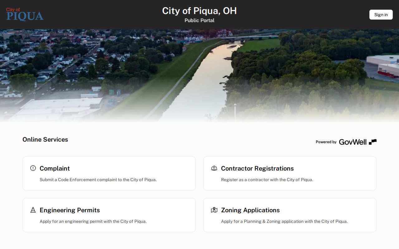
When an older file is not online, request the identified record series from the city or consult the Local History manuscript collection rather than treating a missing portal result as a missing record.
Piqua Street Directory Records
Address-keyed sources work together only after their limits are understood. The parcel card supplies the parcel and recorded land context. Tax maps orient that parcel within a lot or block. The Recorder links instrument parties to the legal description. Planning files can document public project or code material. Library directories can offer dated printed address associations. Voter records may be accessed in limited, lawful ways, but Ohio's statewide interface does not provide a public whole-street roster.
| Address record | Piqua street contribution | Custodian and access | Boundary |
|---|---|---|---|
| Parcel/tax card | Owner, situs, legal, tax contacts, values, sales | Miami County Auditor, parcel/owner/address search | Not a residents list. |
| GIS and tax map | Parcel shape, lot, block, plat, adjacent-map context | Auditor map link, Engineer maps, city GIS | Not a title conclusion. |
| Recorded instrument | Parties, legal description, recording chain | Recorder Basic Search, Laredo, counter | Some instruments omit address or parcel data. |
| Permit or code file | Public project and administrative timeline | Piqua Planning/Zoning or record request | Not an occupancy record. |
| Directory volume | Dated printed street or person listing if that section exists | Piqua Public Library, appointment or visit | Historic printed information only. |
| Voter public record | Limited public elector information where allowed | State form or Board access | No unrestricted street browse; protections apply. |
The parcel number and legal description are the reliable handoff between systems. A street name alone can be ambiguous, and a matching surname does not establish that two entries concern the same Piqua property.
Piqua Street Directory Volumes
For older address work, Piqua Public Library is the local Piqua street directory shelf. Library of Congress HABS documentation records Piqua city and telephone directories from 1911 through 1986 in the library's special collections. The materials do not circulate. Ask the Local History and Genealogy Department whether the target volume includes an alphabetical list, telephone book, classified section, or numerical and criss-cross directory before relying on it for a street search.
A criss-cross section, when one is present, begins with a street number and street name rather than a surname. Record the exact printed address, the name or business printed beside it, and the volume year. Then compare a later or earlier volume, map context, and the Recorder chain. The library also holds house files, local newspapers, yearbooks, and historic database resources that can clarify an era without pretending that every past occupant was published.
The Piqua Local History Department is the appointment and in-person access route for these noncirculating collections.
Piqua Street Records Geography
A Piqua mailing address does not put every record at Piqua City Hall. City Planning and Zoning, city requests, and municipal GIS are local Piqua channels. The Recorder, Auditor, Engineer Tax Map Department, Probate Court, and many court and election functions are county operations in Troy. The city and county offices can therefore each hold a necessary part of the same record path. Naming the record series and custodian before requesting a copy avoids a common dead end.
The Planning and Zoning office at 201 W. Water Street administers Piqua's development and code material, while core county land offices are at 201 W. Main Street in Troy. A ZIP code or familiar Piqua place name does not change which office maintains the record. Use city channels for city-held permit and code material, then use the Auditor and Recorder for parcel and recorded-instrument questions.
The Piqua Planning and Zoning Division describes the city department that complements county parcel records.
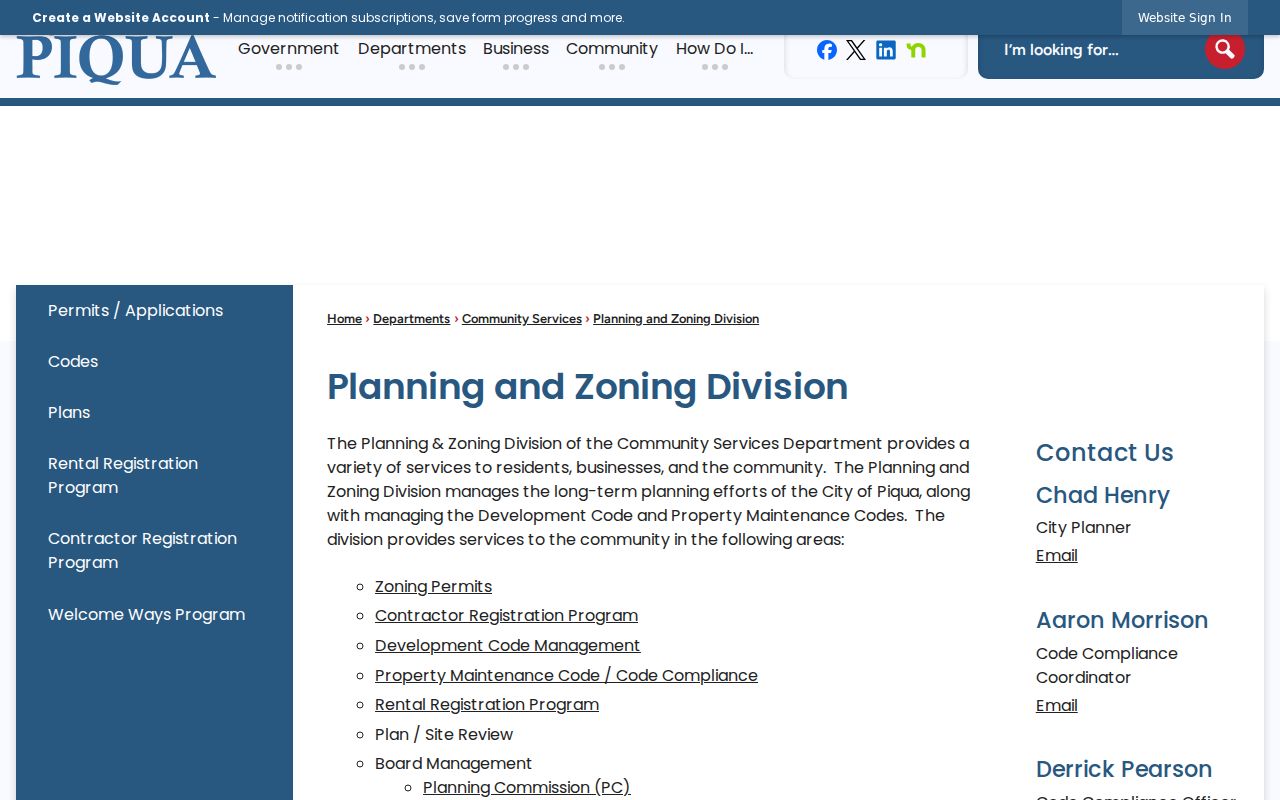
Read the city and county layers together, but preserve which office supplied each item and what that item can actually establish.
Piqua Street Directory Terms
Parcel: a taxed land unit with an Auditor identifier. Situs address: the parcel's physical address. Plat: a recorded map or plan of lots, streets, or subdivisions. Criss-cross directory: a historical address-arranged directory section, if included in the particular volume.
Use these terms precisely. A parcel can have a situs and different recorded mailing contacts. A plat or tax map can locate a lot without deciding title. A criss-cross directory may show a printed historical association between an address and a name, but it does not by itself verify ownership or a person's presence every day. These distinctions make the Piqua address trail useful without making it broader than its sources.
Piqua Street Directory Limits
Some information is deliberately not available through street sources. Parcel records are not a list of everyone in a home. Utility-account and driver-license information are not public address layers. The voter system is subject to redactions and confidential registration, including Ohio Safe at Home protections. A protected or missing entry should never be interpreted as evidence that a person is absent. No official bulk whole-street export was documented for the Auditor, so address work must proceed parcel by parcel.
Lawful personal research only. Use public address and land records for family history, heir questions, property curiosity, civic transparency, or fraud verification. Stalking, harassment, threats, impersonation, and attempts to identify protected people are prohibited; Ohio law addresses menacing by stalking and telecommunications harassment.